General
Fort Trumbull State Park
41.3498° N — 72.0887° W · More spots in New London →
2 spotters been here
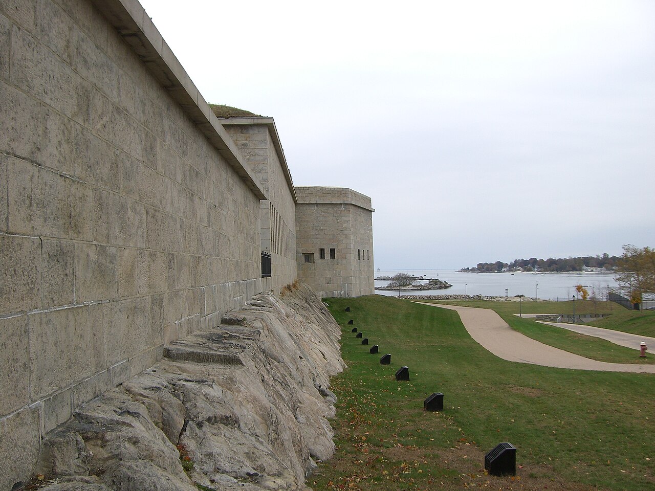
An 18th-century fort on a peninsula in New London with views up and down the Thames River. The fortifications are mostly intact and free to walk. Good fishing from the seawall, and the views across to Groton Bank are excellent on a clear day.
Access status
📍
Coordinates
41.3498° N, 72.0887° W
Parking, ownership, legal access, hours, fees, and hazards are not yet structured and verified on this page. Do not treat generic map or community information as permission. Check the official land manager or property owner before leaving.
Know Before You Go
- ⚠️Check weather conditions before heading out — some spots are seasonal or weather-dependent.
- ⚠️Respect private property and posted signs. Access can change without notice.
- ⚠️Bring a physical map or downloaded directions — cell service may be spotty.
- ⚠️Pack out what you pack in. Leave no trace.
No ratings yet — be the first
Sign in to rate